1889 Map. The factory was completed in 1887. Ample property had been bought for expansion. Source Map: Plate 26
1901 Map. The factory has been extended some to the south. Source Map: Plate 24
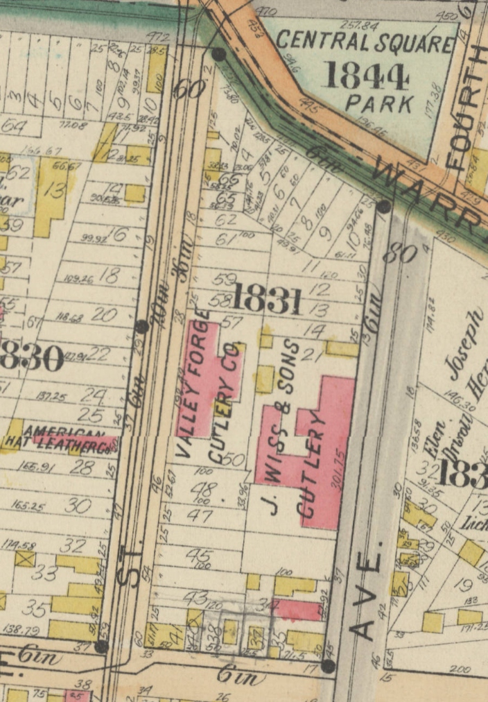
1911 Map. The factory has expanded considerably. More property has been bought. The Valley Forge Cutlery plant on S. 6th St. was bought by Wiss, and after the 1914 purchase, they moved the Heinisch operations into it. For years later the building was known as the Heinisch Building. Source Map: Plate 22
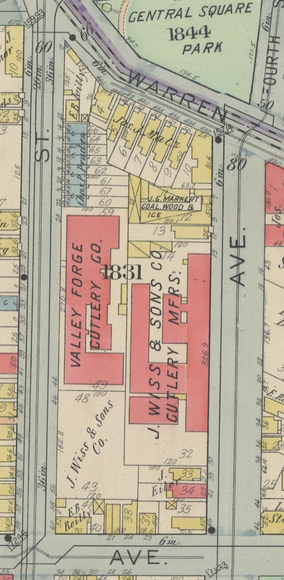
1926-27 Map. The factory has expanded again. All the buildings on S. 6th St are now incorporated into the complex. Source Map: Vol. 1, Plate 5
.")
.")
.")